
Ecological Restoration
To the widest expanses available on the Jukskei River corridor, Water for the Future is re-establishing the ‘riparian’ zones: indigenous biomes that inhabit the margins and banks of a watercourse.
Scroll down to read more about the science around toxic waste and invasive alien vegetation removal in these areas as well as the grassland biome we have most recently introduced to Block 2 of the pilot site.
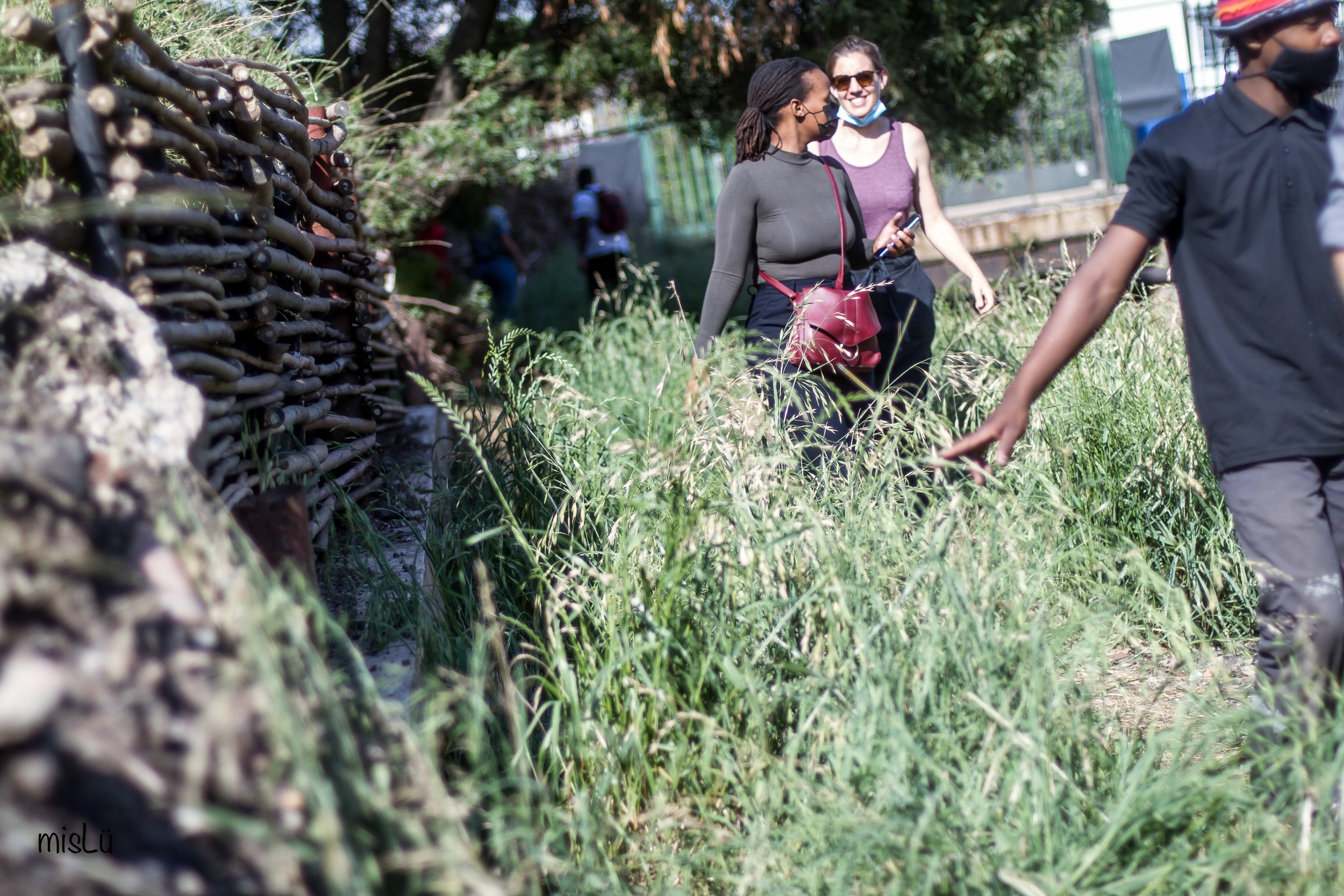
Image right: Trust and Sanele work full-time on the pilot site adjacent to Victoria Yards and Nandos.


Restoring a green belt within the urban corridor holds major potential for climate mitigation because it absorbs carbon and cleans the air. Indigenous fauna and flora are also responsible for attracting insects, lizards and small mammals, improving biodiversity and furthering the environmental well-being of the inner city.
Most importantly, a rejuvenated river has many positive upshots for the community: besides creating space for recreation and exercise (that hasn’t existed before in this area), the riparian zones are tools of education for residents and schoolchildren where new, intimate connections to land and nature can be created, and lasting customs of care and respect for the river and its riparian zones are re-found.
Problem Statement
Extract from Aquatic Ecology Report by Liz Day Consulting, 2018:
‘Urbanisation, the channelisation of the river into concrete canals, as well as inadequate sewerage infrastructure, lead to high levels of water pollution that eliminates all but the most hardy plants… The Jukskei has been defined as being in ‘poor river health’, (River Health Programme, 2005) with the River Health Category of “Poor” defined as indicative of “Unacceptably degraded resources … that are in a in a state that is ecologically unsustainable.”
The high vertical walls of the canal physically isolate it from terrestrial areas on the top of the river bank, and although surface and subsurface flows pass into the canal from the surrounding areas, there is little reverse connectivity, with floods being assumed to be currently contained within the canal. As a result, the river “bank” (as manifested by the canal wall) is sterile and provides no role as an ecological corridor along or between instream areas and adjacent riparian and/or terrestrial zones.
The “riparian” zone along the top of the canal is furthermore vegetated almost entirely by alien invasive vegetation, including stands of bugweed (Solanum mauritianum), morning glory (Ipomoea sp.) and syringa (Melia azedarach), which form an in places almost impenetrable thicket, shading the canal base. Downstream of Viljoen Street, dense patches of khakibos (Tagetes minuta) dominate the top of the canal, along with other weedy and/or invasive plants.
Where access from adjacent roads is allowed (e.g. from Queen Street), dumping of waste including human faeces is evident, and in many areas dumping of waste over boundary walls backing onto the river corridor also takes place…Overall, the river bank and riparian area have been critically altered from their natural condition… Natural valley bottom wetlands assumed to have been associated with the river in these reaches have been entirely destroyed.’

-

Cleaning up
View our mammoth efforts to clean the Jukskei River of toxic waste and alien vegetation.
-
Wild Horticulture
We are reintroducing the original biome to the very edges of the watercourse.
Reports on the upper Jukskei Ecology
-

Aquatic Ecology Report
Phase 1: Status quo with conceptual recommendations for the rehabilitation and/or remediation of the watercourse by Liz Day Freshwater Consulting 2018
-

Wetland hydropedology identification and management report
Jukskei Rejuvenation Project 2018, compiled by J.H. Van der Waals, Terrasoil Science
-

Wetland/Riparian Delineation and Functional Assessment
Jukskei Rejuvenation Project 2018, drafted by Limosella Consulting Pty Ltd, prepared for Emifula Riverine and Wetland Remedial Consultants
-

A practical field procedure for identification and delineation of wetlands and riparian areas
Published by the Department of Water Affairs and Forestry

Get involved.
Become a subscriber, or contribute to our work.